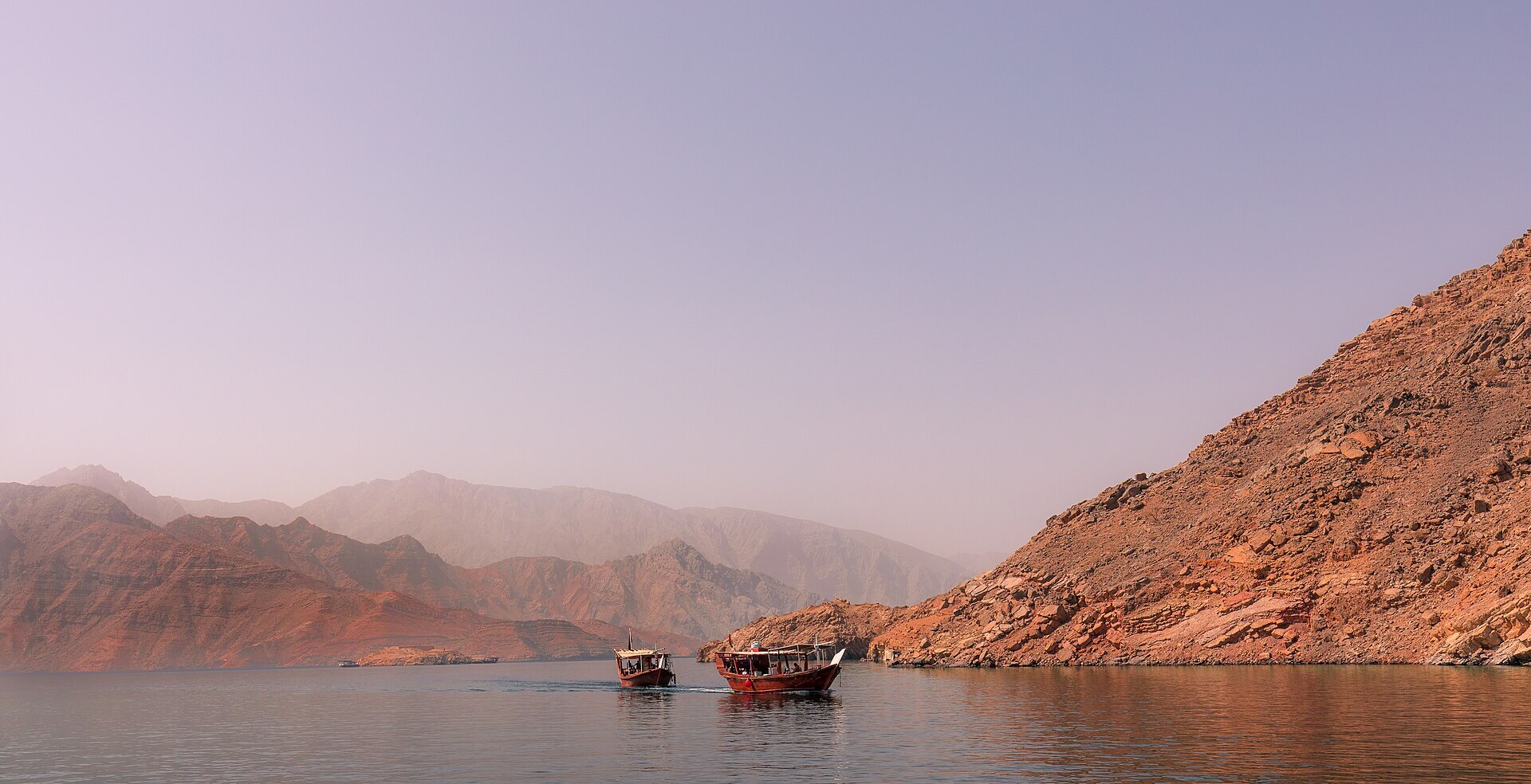
Jebel Harim, the highest peak in the Musandam peninsula, sits roughly 30 kilometres southwest of Khasab as the crow flies, though the road that reaches it doubles back through several wadis before it gets there. Most visitors treat it as a half-day or full-day mountain safari out of Khasab, usually combined with a stop at the old telecommunications relay station near the summit and a detour to one of the fossil-bearing rock faces lower down. The appeal is straightforward: a single road takes you from mangrove-lined coast to a cool, wind-scoured plateau where the Gulf of Oman and the Strait of Hormuz both come into view on a clear day.
Getting there: the road from Khasab
The route out of Khasab runs south through Wadi Khasab before turning onto the graded track that climbs toward Sayh Plateau and then Jebel Harim itself. The surface is unpaved gravel and compacted rock for most of the ascent, with sections of loose stone and a few switchbacks tight enough that oncoming traffic needs to signal or wait. A 4x4 with reasonable ground clearance is not optional here: saloon cars are turned back by rental agencies and by common sense alike. Allow 90 minutes to two hours for the one-way drive from central Khasab to the summit area, longer if you stop at viewpoints, which you should.
Self-drive or guided safari
Car hire with a 4x4 in Khasab runs from around 25 to 40 Omani rials a day depending on the vehicle and season, and most agencies will point out which tracks are currently passable. A guided mountain safari, typically in a shared or private Land Cruiser with a local driver, costs more (figures vary enough by operator and group size that it is worth checking the day's quote directly) but removes the navigation guesswork and usually includes stops that a first-time self-driver might miss, including smaller wadis and Shihuh settlement ruins along the way. Neither option is wrong: self-driving suits travellers who want to linger at their own pace, guided safaris suit those short on time or uneasy about unmarked forks in the track.
Fossils, strata and what to look for
The limestone that makes up much of Jebel Harim formed on an ancient seabed, and the rock faces along the upper road expose layers containing fossilised shells, some ammonite-like coils and marine fragments compressed into the strata over millions of years. These are not curated exhibits: they are simply visible in cuttings where the road was blasted through rock, and spotting them takes a slow walk and an attentive eye rather than any special equipment. Resist the urge to hammer pieces free. The fossils are more interesting left in context, and the rock is fragile enough that casual chipping degrades the site for the next visitor.
Water (at least 1.5 litres per person for a half-day trip), sun protection, a light jacket for the summit wind, and a full tank or charged phone before you leave Khasab, since reception thins out past the lower wadis.
The summit and the old relay station
At around 1,600 metres (some surveys put the true high point slightly higher, since Jebel Harim has a broad, multi-peaked summit area), the air is noticeably cooler than at sea level, often by 8 to 10 degrees Celsius, which makes this a reasonable midday escape in the hotter months. A disused telecommunications or radar installation near the top is a common photo stop, not open for entry, but its presence helps orient visitors toward the best viewpoint, from which both the Gulf of Oman side and, on exceptionally clear days, glimpses toward the Strait of Hormuz are visible. Winter mornings (November to March) offer the clearest air; summer haze and heat make the drive less rewarding and considerably less comfortable.
Combining the safari with other stops
Many visitors pair Jebel Harim with the ruined village remains scattered along the plateau, where stone houses and terraced fields hint at Shihuh mountain life before most families moved toward the coast. Sayh Plateau itself, lower than the main summit, is used seasonally for grazing and is worth a slow pass if livestock are out. Some itineraries also combine the mountain safari with an early dhow trip to Khor Najd or the dolphin-watching grounds the same day, though this makes for a long day: the mountain alone deserves three to four hours round trip without rushing.
Practical notes and timing
There is no fuel station on the mountain road itself, so fill up in Khasab before departing. Toilets and shade are minimal to nonexistent along the route, so plan accordingly, particularly with children or older travellers. The road is generally passable year-round, but after heavy rain, flash flood damage in the lower wadi sections can close stretches temporarily: check locally the morning of your trip rather than assuming the previous day's conditions still hold. No border formalities apply to this inland route, unlike approaches toward the Strait of Hormuz viewpoints near the Omani-UAE line, so a standard Oman visa and ordinary vehicle paperwork are sufficient.